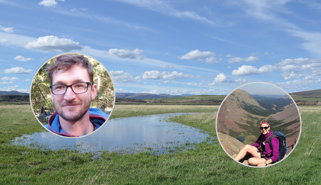
Q&A With hydrologist Dr. Ryan Bailey

Irrigators in northwestern Colorado’s White River Basin had a question: what, exactly, was happening to the water that seeped past the grass growing in their hay meadows and back into the watershed? For ages, they’d seen evidence of groundwater recharge, like springs staying wet long after the land dried out in the late summer. But how could they know for sure where the water was going once it was underground? And how could they make sure that they were being as efficient as possible with their water in this arid corner of the Upper Colorado River Basin?
Colorado State University professor Dr. Ryan Bailey set out to answer these questions in a recent study, Quantifying hydrologic fluxes in an irrigated region characterized by groundwater return flows, published in the Journal of Hydrology. The research summarizes the first two years of a three-year hydrologic study of the White River Basin. We asked Dr. Bailey a few questions on the significance of this study for water management in both the White River Basin and across the West.
“We found that of all the water diverted from the White River for irrigation, the vast majority (80 percent) is replenished by groundwater flowing back into the river.”
Dr. Ryan Bailey
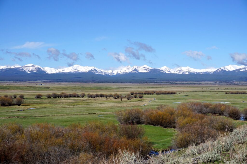
I became involved in the White River Basin through an invitation from the White River & Douglas Creek Conservation Districts [to study the basin’s hydrology]. As I worked through the project, I found that through flood irrigation, the landscape becomes well-watered, with much of the water returning to the White River for reuse downstream or to sustain river ecosystem function. However, these characteristics of the basin are likely true of many other flood-irrigated valleys in the Upper Colorado River Basin throughout Colorado, Wyoming, and Utah. In fact, our goal is to study several other irrigated valleys over the next year, including the Yampa River Valley and several valleys in Wyoming, in collaboration with the University of Wyoming.
Q: Can you describe how you set up this study? How did you measure groundwater and returns to the river?
First, we used data measured in the field, which consist of:
1) the rate (ft3/sec) at which the White River flows at certain points along the river;
2) the rate (ft3/sec) at which river water is diverted into irrigation ditches; and
3) water table elevation (ft) within the Agency Park Aquifer and the Powell Park Aquifer.
Flow rates in the river and at diversion points are available to the public through the Colorado Division of Water Resources, and water table elevation was measured using data loggers placed in 11 groundwater wells across the valley. Using measured flow rates, we were able to perform a “water balance” for three different sections on the White River. This method let us estimate how much groundwater enters the White River through each of the three sections.
Second, we used a groundwater model, called “MODFLOW,” to estimate groundwater volume in the aquifers, groundwater flow rates in the aquifer, and groundwater returns to the White River. The model divides the aquifer into a set of small sections (each section is 200 ft x 200 ft x aquifer thickness), and then estimates irrigation applied to each field, deep percolation from each field to the water table, and then groundwater flow between the small sections. If the section intersects the White River, then the model estimates how much groundwater flows into the White River through the river bed. We tested the model by comparing model output to measured water table elevation (at the 11 monitoring well locations) and the groundwater returns for the three river sections.
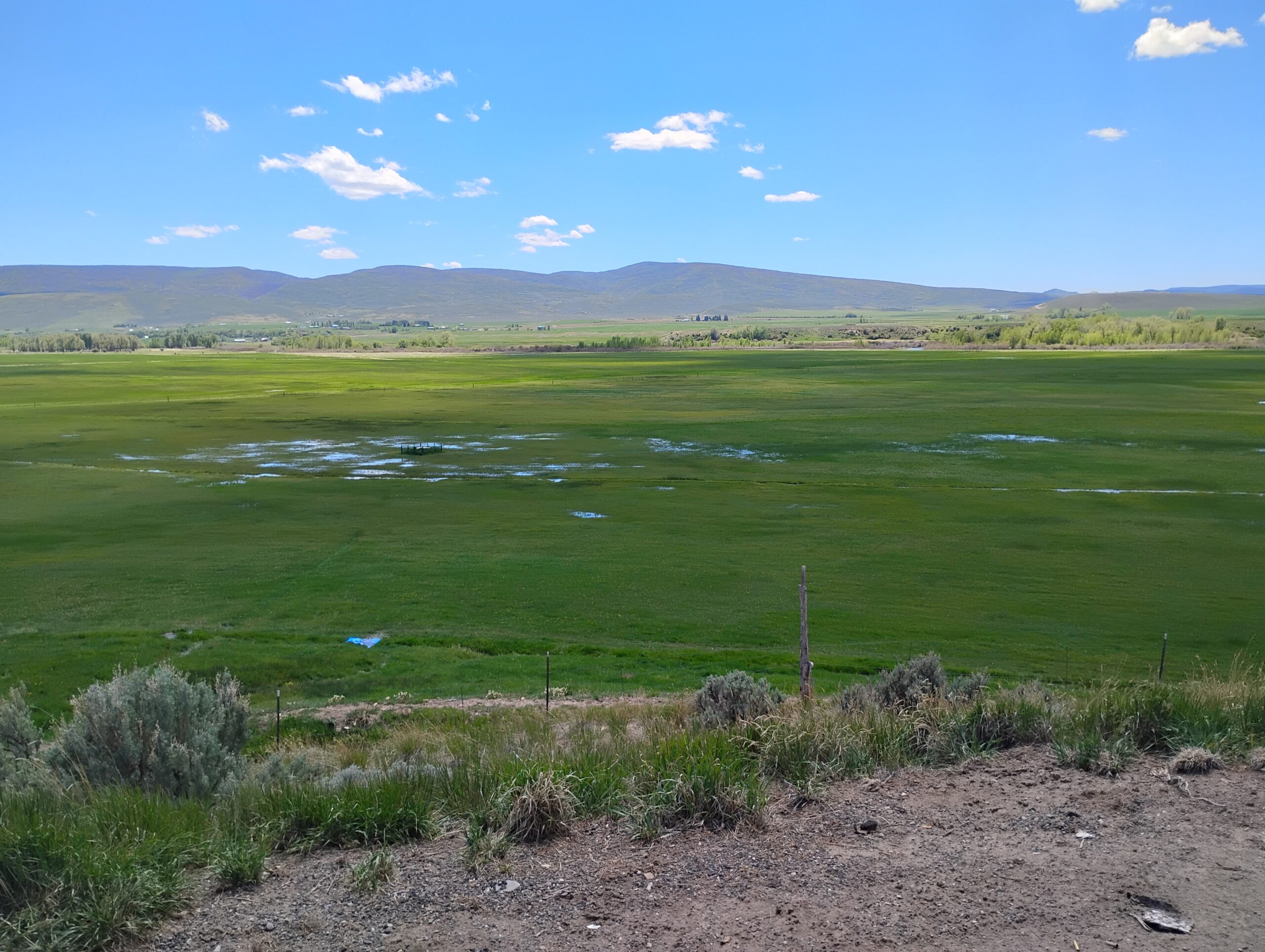
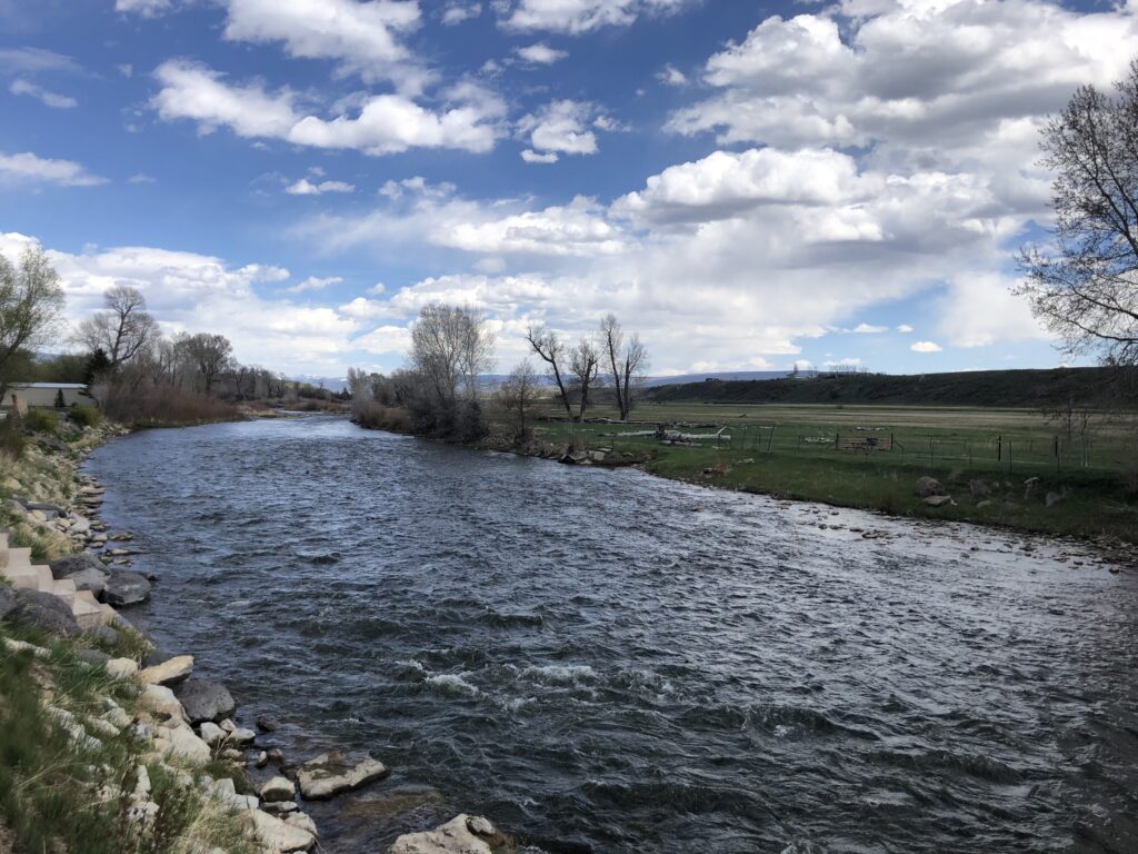
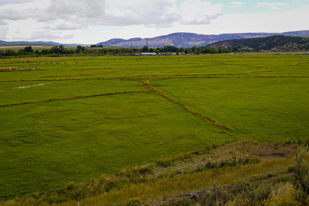
We found that of all the water diverted from the White River for irrigation, the vast majority (80 percent) is replenished by groundwater flowing back into the river. This was estimated for the 33-mile section of river that brackets the town of Meeker. Water is diverted from the river into a network of ditches, with 20 percent seeping to the aquifer through ditch beds. The remaining water is applied as flood irrigation to fields, which then either runs off the field (and can be captured by other ditches for reuse), is used by crops, or percolates as recharge to the aquifer. The water that recharges the aquifer increases groundwater storage, which drives groundwater towards the river, to discharge into the river through the river bed.
Historically, 25 percent of river flow is made up of groundwater flowing into the river. During periods of low river flow in the summer, groundwater accounts for 75 percent of river flow. In the fall months, during which time river flow should be extremely low, flows are moderate because of groundwater entering the river. These are called “late-season return flows” because they are a product of irrigation that occurs during the summer and fall months.
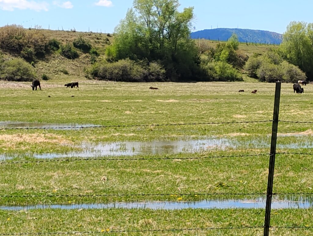
Another key effect of flood irrigation is wetland development. There are many wetlands (at the edge of fields, along ditches, along the riparian areas of the White River) that exist due to flood irrigation. Flood irrigation results in surface runoff and high water tables, which allows wetlands to be maintained. These wetlands provide many ecosystem services to the region, including wildlife habitat.
Q: What would happen in this area if flood irrigation is converted to sprinkler irrigation?
Two main things:
First, the flow in the White River will be re-timed. Less water will be diverted to ditches, because sprinkler irrigation requires less water. Therefore, more water will stay in the White River during the irrigation months. However, because less water is being applied and therefore less recharge and lower groundwater storage, the late-season groundwater return flows will not occur, and river flow in the fall and winter months will be less. From our modeling results, we found that river flow in the winter will decrease from about 360 ft3/sec to 300 ft3/sec. So, river flow will still occur in the winter, just at lower rates.
Second, water tables will drop, likely leading to the disappearance of many wetlands in the region. After five years of conversion, the average decline in water table is five feet in riverine wetlands and 10 feet in emergent wetlands (adjacent to irrigated fields).
I was surprised by two things: first, the amount of diverted river water that is replenished by groundwater, due to the large volumes of flood irrigation. It seems that the entire landscape becomes saturated with water due to flood irrigation, and much of this water slowly makes its way back to the river. This does occur in other basins that I have studied (for example, the Arkansas River Basin in southeastern Colorado), but the fraction of diverted water returning to the river is much lower (only 33 percent, as compared to 80 percent in the White River Basin). Second, the decrease in water table that would occur if flood irrigation is converted to sprinkler irrigation, and the effect this would have on wetland maintenance. I figured that the water table would drop due to lower recharge amounts, but in some places the water table will drop by 10-15 feet!
Q: Why is it important to look at individual basins when studying water use and return flows?
Every irrigated basin has a unique history of geology, ditch diversions, field proximity to rivers and streams, and irrigation practices, which can each impact how much irrigation water returns to the river, and the rate of return. Many basins likely have similar characteristics and irrigation histories, but how these relate to actual amounts of groundwater returns to the river needs to be studied using field data and modeling.
This study indicates that flood irrigation has a significant effect on groundwater storage, river flow, and wetland sustenance. If irrigation practices are changed (for example, to sprinkler), than river flow will be re-timed and many wetlands will disappear. I hope that these results are taken into consideration when making decisions about water management and irrigation practices.
If flood irrigation is converted to sprinkler irrigation [in this watershed]…due to lower recharge amounts in some places the water table will drop by 10-15 feet!
Dr. Bailey
Learn More About Dr. Bailey’s Research
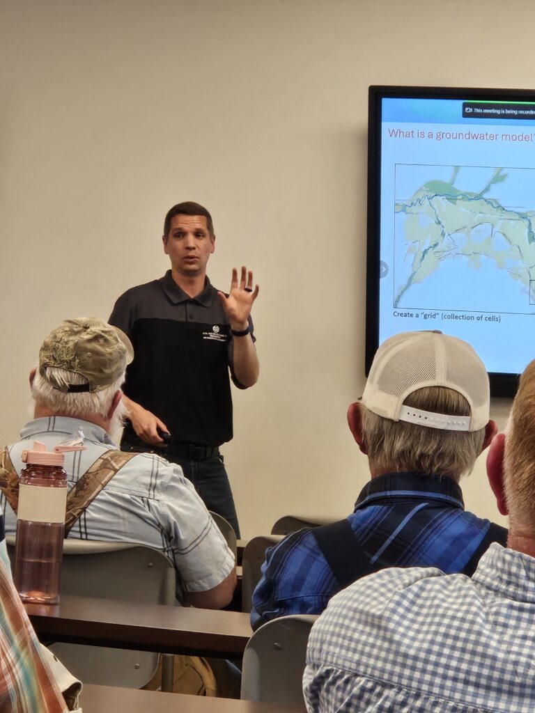
Watch the Webinar
Dr. Bailey breaks down the results of the White River Basin groundwater study in a June 2025 webinar hosted by the Colorado Cattlemen’s Association.
Read more in On Land Magazine
A July 2025 article in On Land magazine takes a deeper dive into the significance of this science to irrigators in the White River Basin.