Wetland Maps & Tools
our WETLAND SCIENCE IS BUIILT ON SPATIAL DATA
We work to make conservation decision-making focused and strategic.
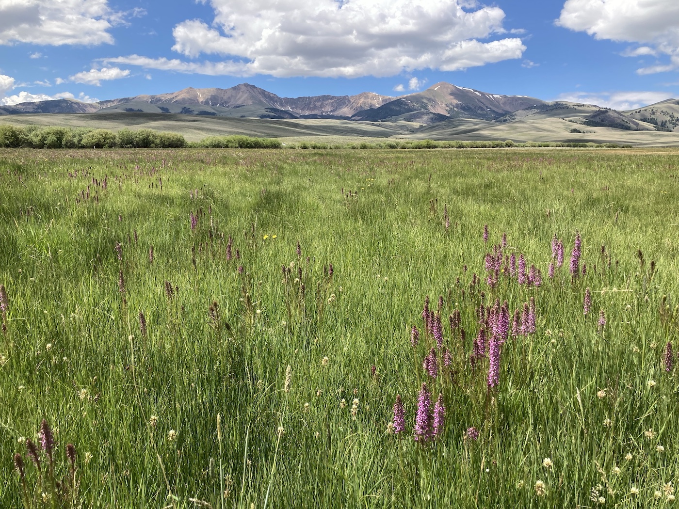
Much of the IWJV’s wetland science is built on spatial data that lends itself well to decision-support tools for land managers. This information is available through several Google Earth Engine-powered applications that can be used to make conservation decisions based on our wetland and migratory bird data.
Our Science to Implementation team helps conservation professionals and land managers apply these spatial prioritization tools to their work to make conservation decision-making focused and strategic.

ACCESS Our TOOLS
Wetland Evaluation Tool (WET)
This spatial wetland analysis product enables users to track changes in surface water over space and time. Combined with local knowledge, the tool can help land managers create a landscape-scale picture of important areas to target for land and water conservation.
Working Wetlands Explorer
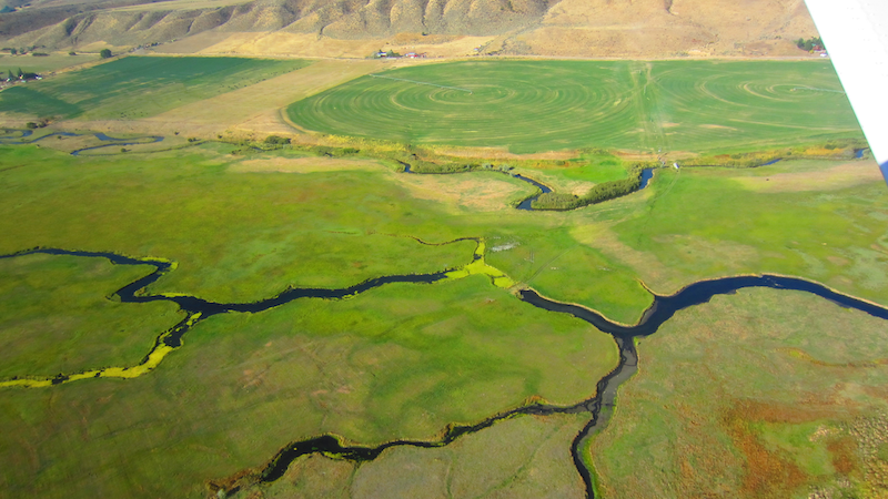
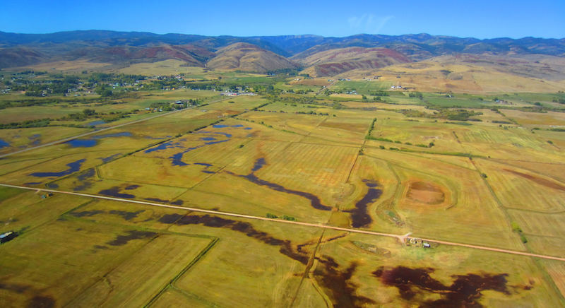
The Working Wetlands Explorer links sustainable ranching practices to riparian ecosystem services. The tool allows users to map flood-irrigated grass hay agriculture across the western United States, as well as the types of wetlands it provides throughout the year. This spatial tool is a great companion for the strategic conservation of agricultural lands and wetland habitats.

Greater Sandhill Crane App
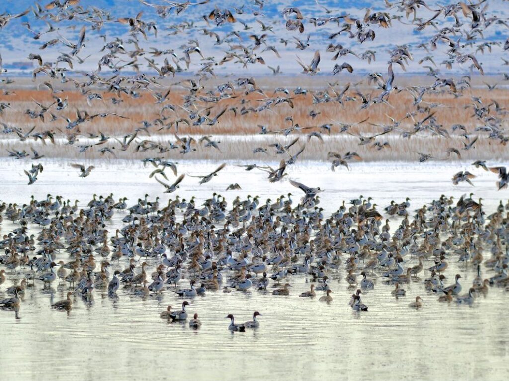
As Greater sandhill cranes move between wintering grounds and breeding grounds in the Rocky Mountains and Northern Great Plains, they rely on a network of public and private stopover sites for food and shelter to fuel their annual journeys. This app visualizes summering distributions and migratory pathways for the Central Valley, Lower Colorado River Valley, and Rocky Mountain populations of Greater sandhill cranes and their habitat in western North America.
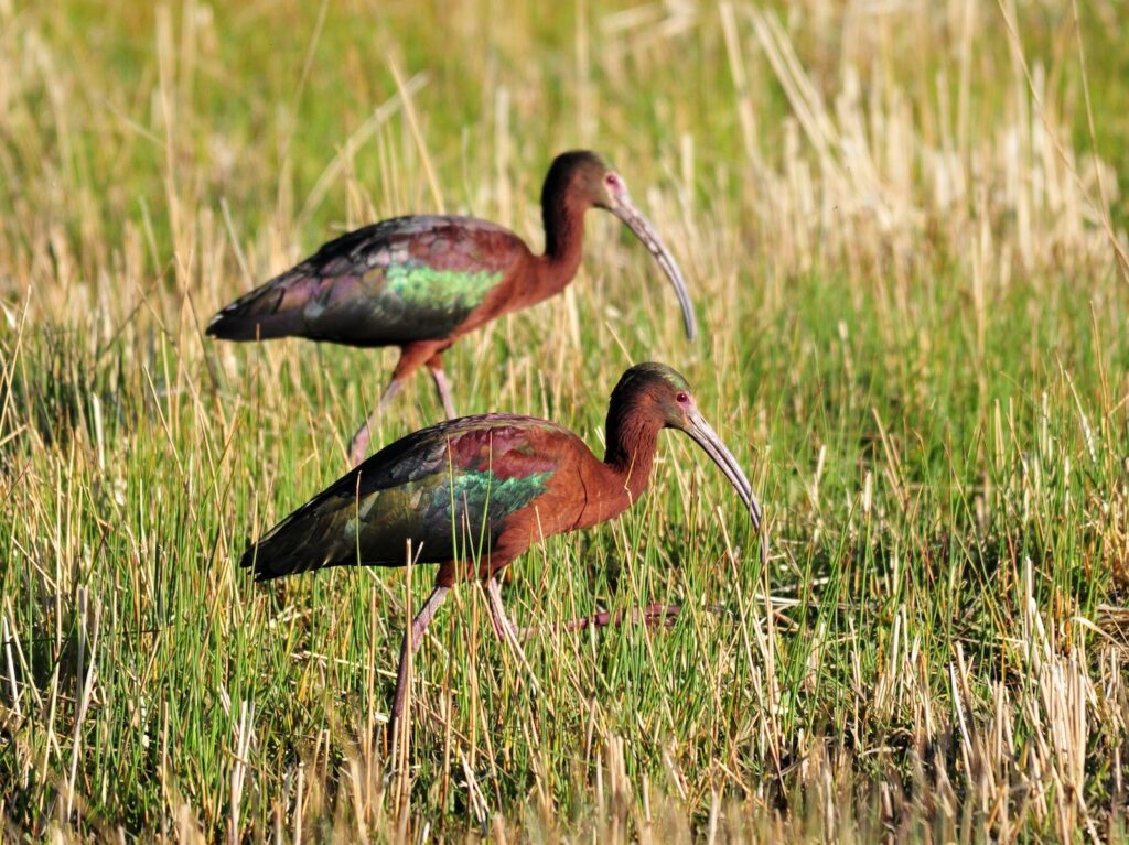
White-Faced Ibis App
This app allows users to visualize a wetland landscape across space and time by layering white-faced ibis breeding habitat, hydrology, and wetland resilience datasets.
Intermountain Insights: Maintaining Resiliency of Continental Waterbird Flyways
Waterbirds in the Intermountain West rely on a limited number of important…
Intermountain Insights: Wetland Loss in the Pacific Flyway
A study from the Intermountain West Joint Venture and partners, Functional wetland loss…
Intermountain Insights: Working Science for Working Landscapes
Agriculture and human settlement have long been tied to ecologically important wetland…