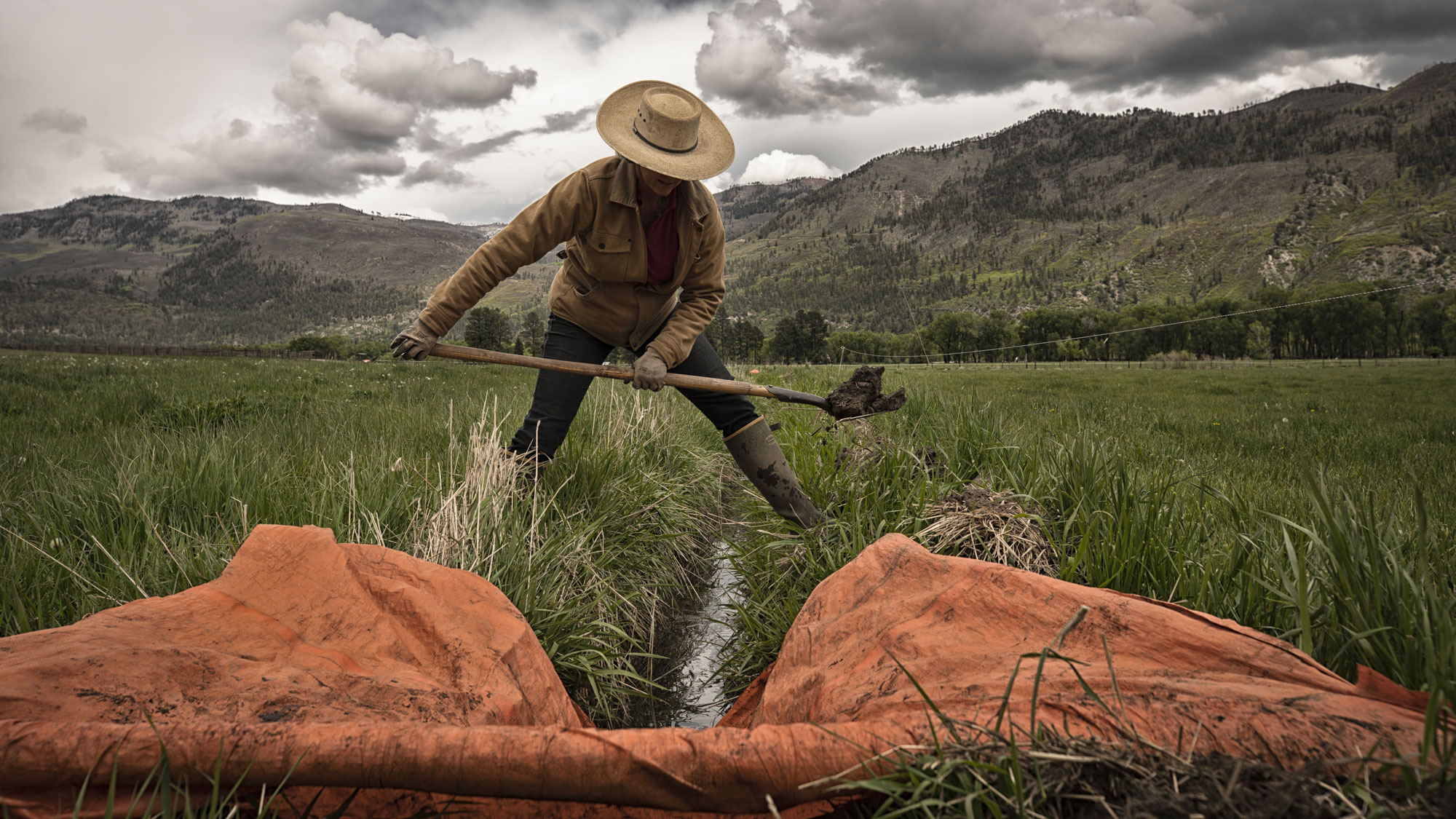
Flood-Irrigated Grass Hay Agriculture
Maintaining the West’s Green Ribbons
Flood irrigation in the snowmelt-fed West supports forage production for livestock.
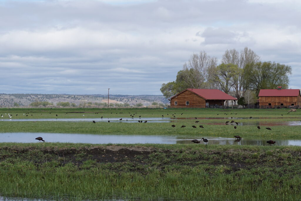
It also provides the majority (58 percent) of temporary wetland habitat in the Intermountain West, despite only accounting for 2.5 percent of the region’s irrigated footprint. This means that a small handful of private landowners are providing a large portion of important wetland habitat in this semi-arid region.
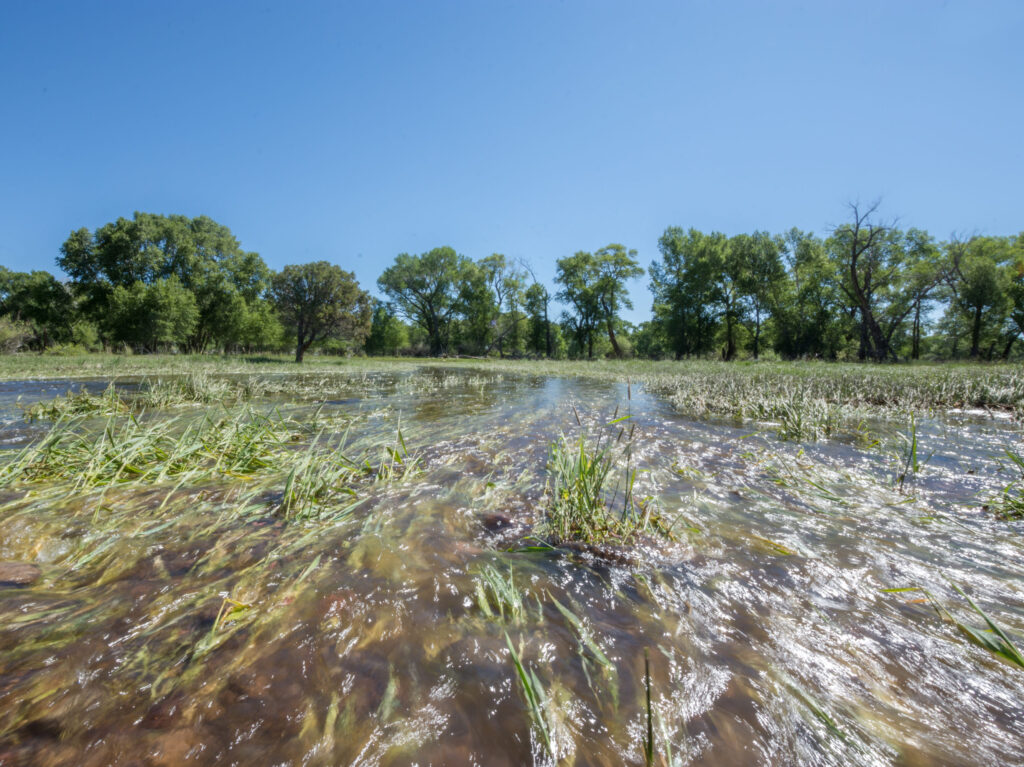
Flood-irrigated grass hay agriculture is located predominantly in riparian floodplains and mimics natural flooding cycles, providing ecosystem services that promote climate resilience and wildlife benefits. As a result, ranching in many parts of the West has become deeply intertwined with ecosystem function. But as water scarcity impacts agricultural operations throughout the region, these wetland habitats are increasingly at risk of drying.
Flood-Irrigated Habitat in the Southern Oregon Northeastern California Region and the Klamath Basin
Of wetlands located in the Southern Oregon Northeastern California (SONEC) region, 74 percent are located on privately owned working agricultural lands. While some of these wetlands are flood-irrigated to raise grass hay for livestock, others, especially in the Klamath Basin, are flood-irrigated to produce grain and other crops. Together, more than six million migratory birds rely on these irrigated agricultural lands for successful migration and reproduction each year.
Our Practices
Keeping flood irrigation on the landscape, especially during critical times like spring bird migration, is important. The IWJV works to accomplish this by:
additional resources
Explore the Tools Driving Conservation Impact
Wetland Benefits of Flood Irrigation
This 2024 body of science and supporting materials shows flood-irrigated hay meadows mimic natural hydrology and support critical wetland habitat.
Intermountain Insights
A breakdown of science highlighting how flood-irrigation can sustain wetland habitat by mimicking natural hydrology.
Working Wetlands Explorer
This interactive, Google Earth Engine-powered tool maps flood-irrigated hay meadows and associated wetlands across the region.
Wetland Evaluation Tool (WET)
Track changes in surface water over time with this dynamic tool, designed to support landscape-scale conservation.
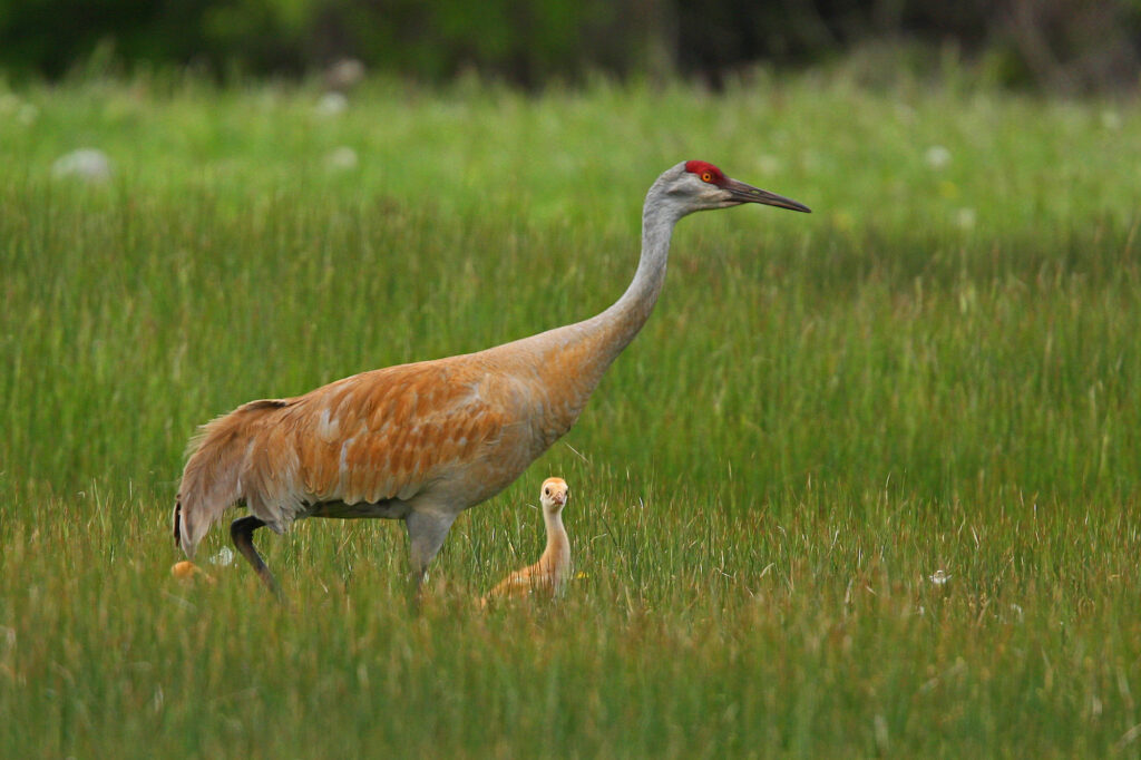
Greater Sandhill Cranes
Greater sandhill cranes are among the most iconic migratory waterbirds of western…
Intermountain Insights: Digging Deeper into Flood Irrigation
Western ranchers’ perspectives on enablers and constraints to flood irrigation (journal article)…

High But Not Dry
An article in Western Confluence magazine explores the places where flood irrigation…