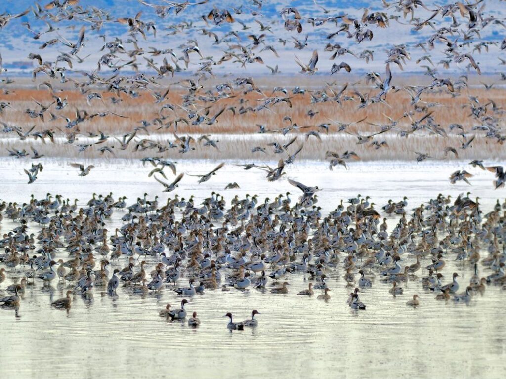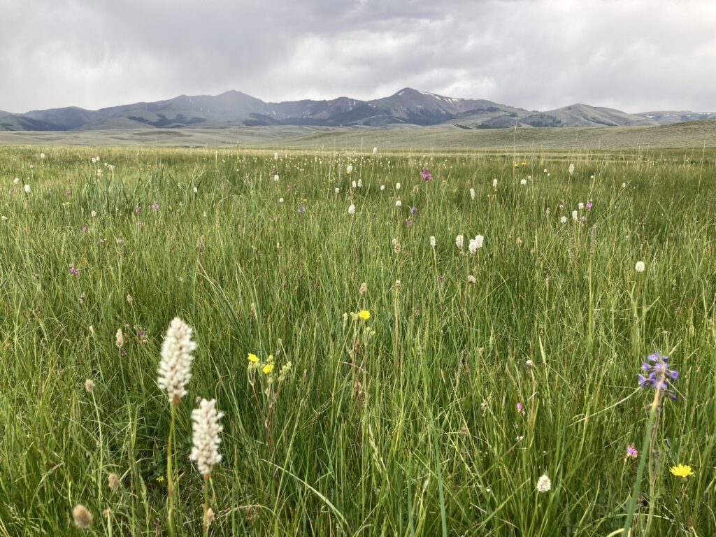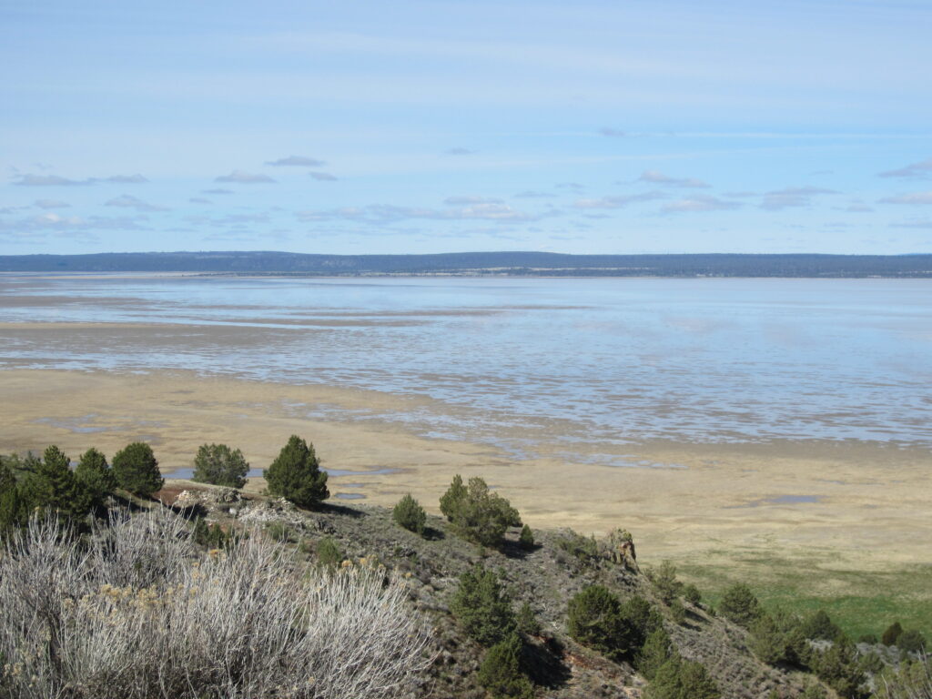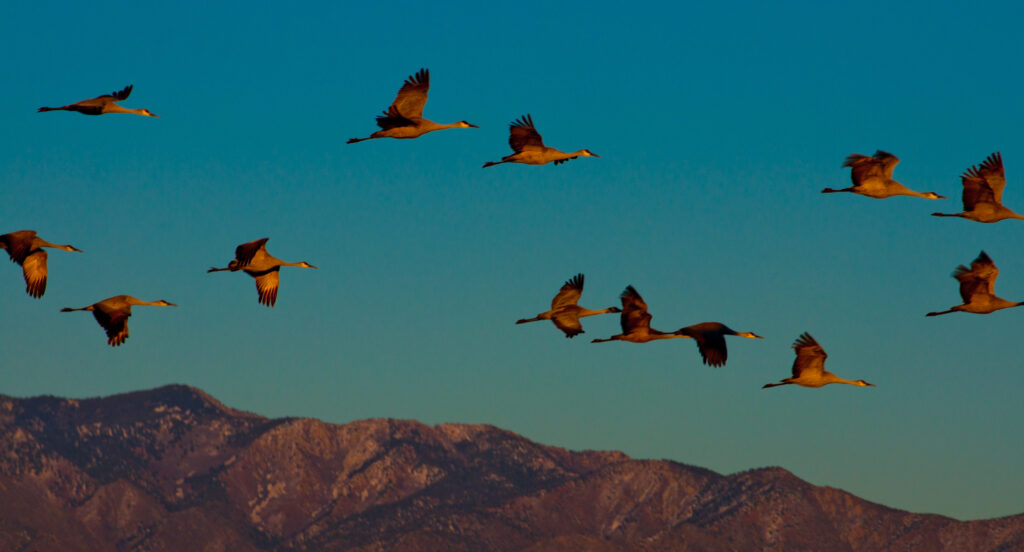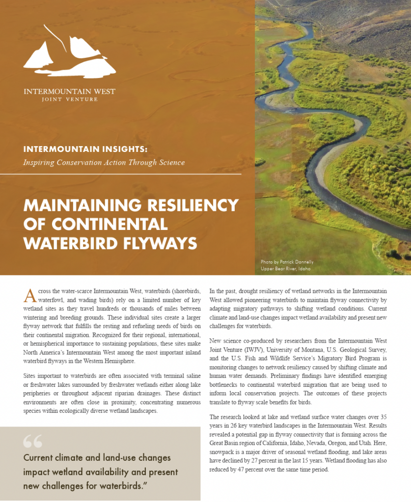
Waterbirds in the Intermountain West rely on a limited number of important wetland sites as they migrate hundreds of miles between breeding grounds in the north and wintering grounds in the south. This network of wetlands is vital for resting and refueling on these long journeys. What is more, these sites are also important centers of ecological diversity for both the migratory birds and other species of fish and wildlife.
In order to monitor changes in the resiliency of these networks, IWJV scientist Patrick Donnelly partnered with scientists from the University of Montana, the U.S. Geological Survey, and the U.S. Fish and Wildlife Service’s Migratory Bird Program to look at surface water changes over 35 years in 26 key waterbird landscapes in the Intermountain West.
SOURCE
Donnelly, J.P., King, S.L., Silverman, N.L., Collins, D.P., Carrera-Gonzalez, E.M., Lafón‐Terrazas, A., Moore, J.N. (2020). Climate and human water use diminish wetland networks supporting continental waterbird migration. Global Change Biology. https://doi.org/10.1111/gcb.15010
