Resources
Explore Our Library of Resources
The latest reports, science, stories and more from the Intermountain West Joint Venture and our conservation partners. Please use the filter menu to navigate.
Patrick Donnelly’s Greatest Hits at the IWJV
Patrick Donnelly’s Greatest Hits at the IWJV Hired in 2011, Patrick Donnelly…
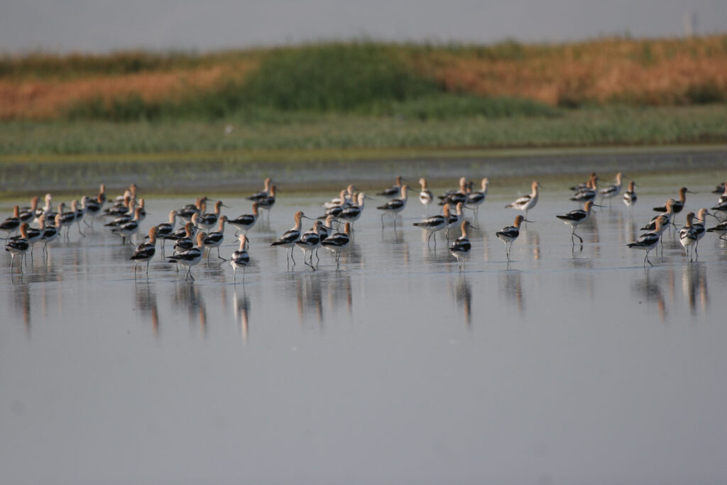
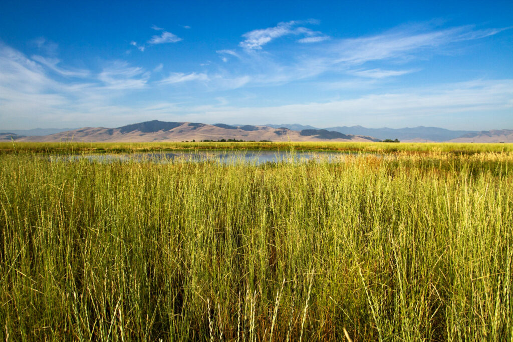
Going, going, gone: Landscape drying reduces wetland function across the American West
Q&A Going, going, gone: Landscape drying reduces wetland function across the American…
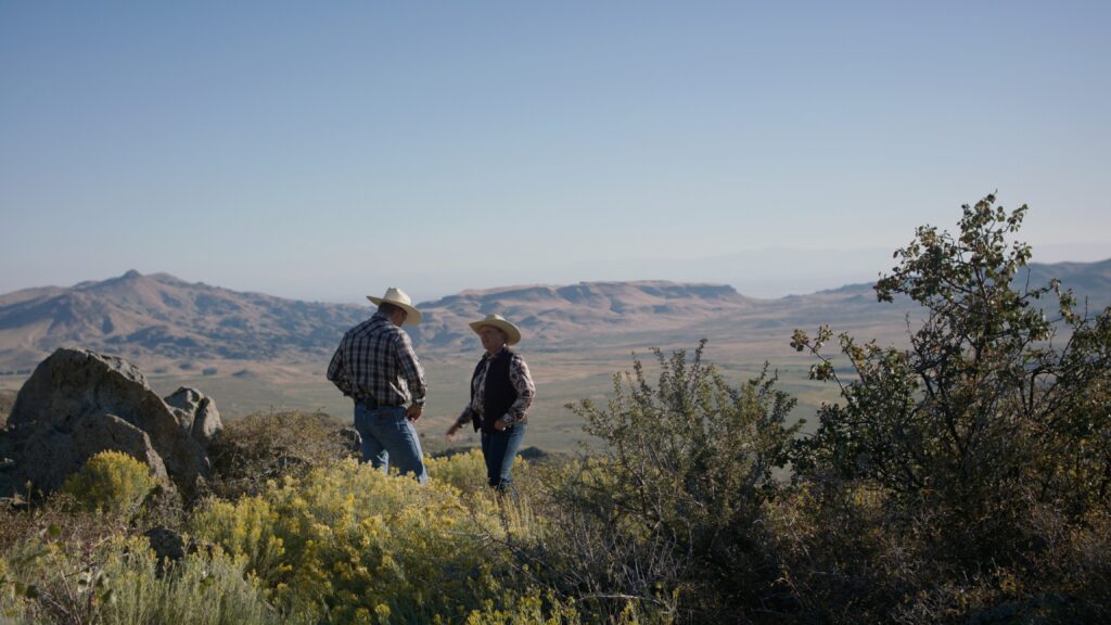
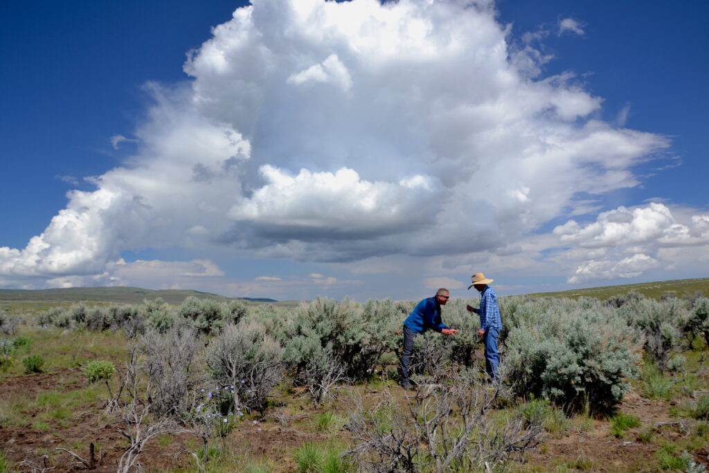
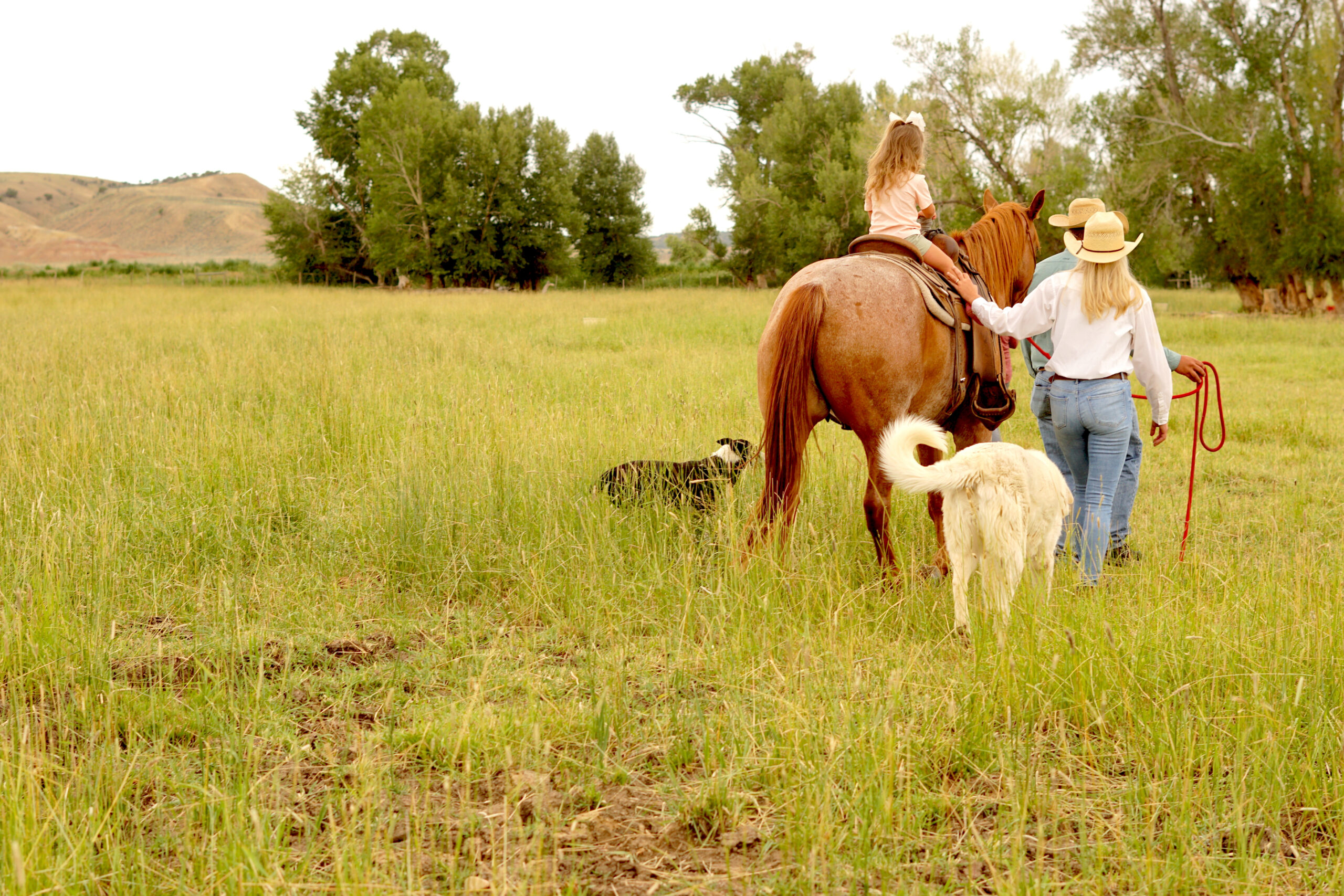
What Brings Us Together: Five Lessons from the Range
Field Notes What Brings Us Together: Five Lessons from the Range By…
Implementation Plan
Our Guide in Conservation 2025 Implementation Plan Over the past decade, the…
Case Study: Oregon Threat-Based Strategic Conservation Workshops
Threat-based Strategic conservation: PRIORITIZING WORK IN SAGEBRUSH COUNTRY Case study submitted by…
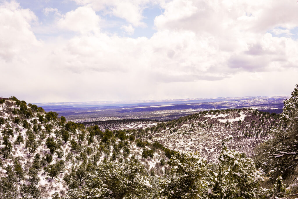
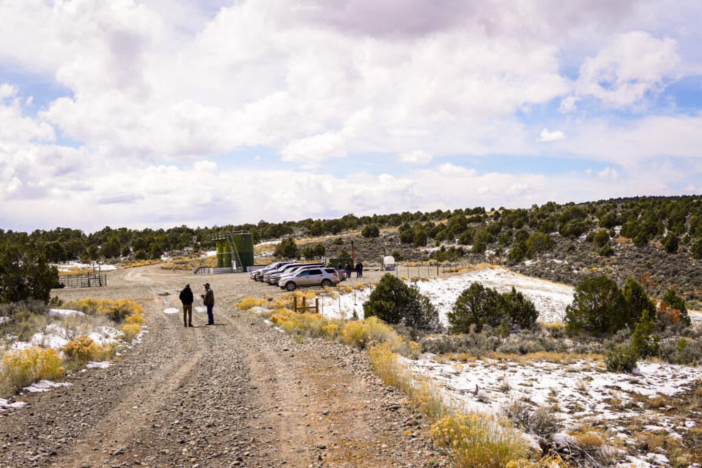
At the Woodland’s Edge: Restoration and Complexity in Colorado’s Piceance Basin
At the Woodland’s Edge:Restoration and Complexity in Colorado’s Piceance Basin Between two…
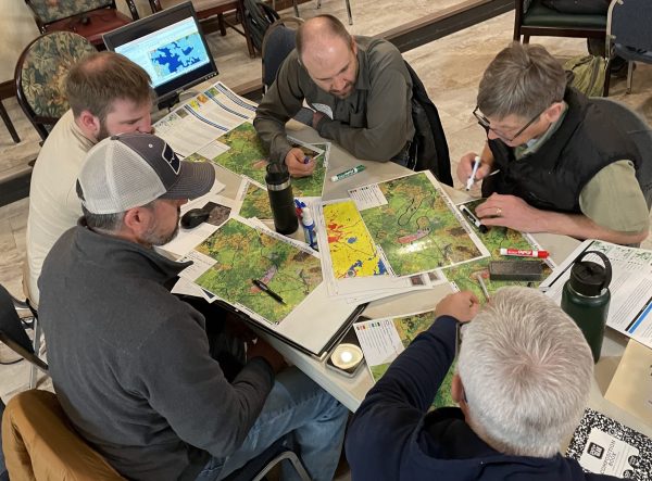
BLM and IWJV Workshop Woodland Management in Colorado
In early April, staff from the Intermountain West Joint Venture (IWJV) hosted…
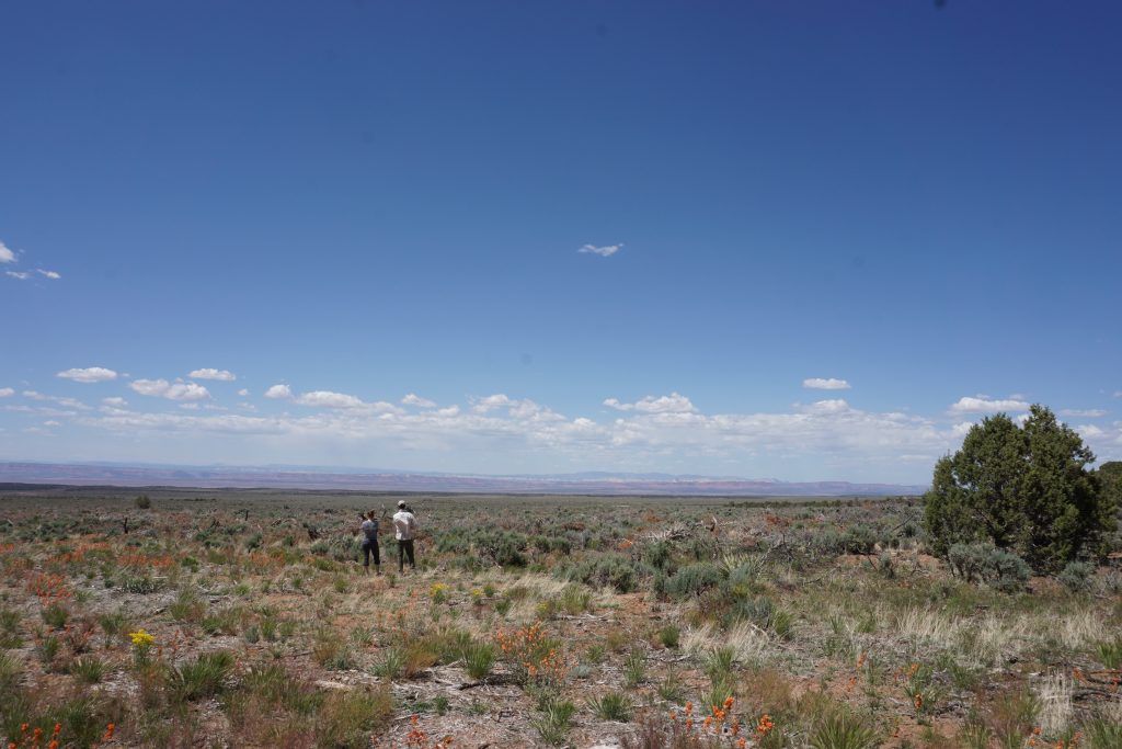
On the Arizona Strip, Now is the Time for Fire and Fuels Work
When it comes to the desert southwest, the Arizona Strip is entirely…
Looking for something else?
Contact our staff to find the resource you’re seeking, or for assistance in applying these resources to your work.