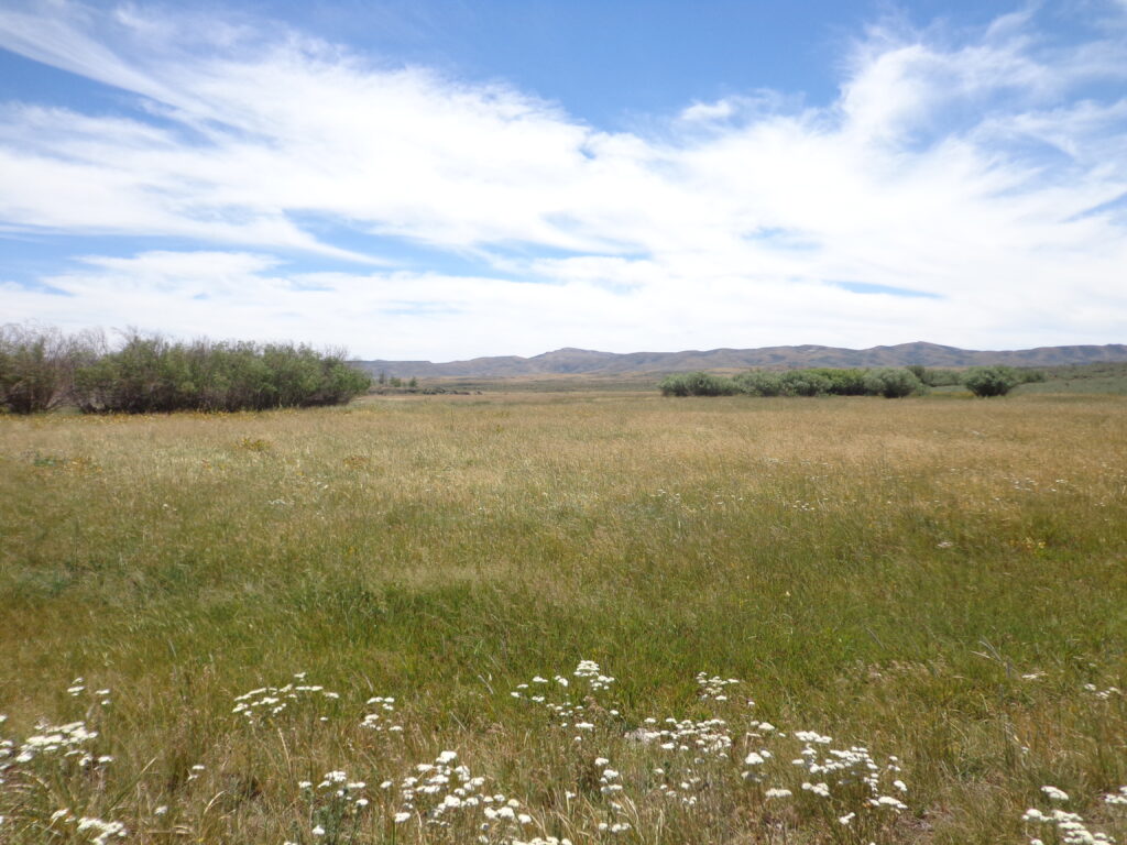
Although fencelines often divide the landscapes of the Intermountain West, water and wildlife do not abide by those boundaries. Conservation of these important resources relies on an understanding of landscape-scale connectivity. This visual representation of various practices used by USDA NRCS on private agricultural land and public land leased for agriculture seeks to create dialogue on this connectivity and the often overlapping nature of conservation work.
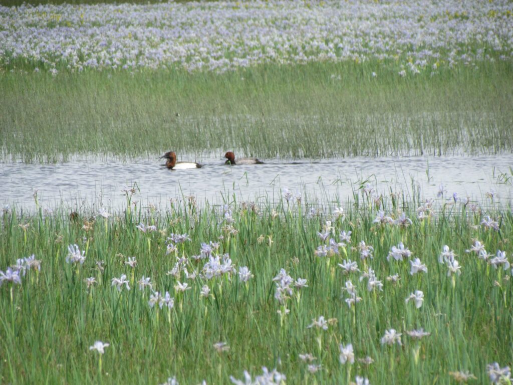
Water & Wetlands
10 Tips for a NAWCA Grant Application
Applying for a North American Wetland Conservation Act (NAWCA) standard or small…