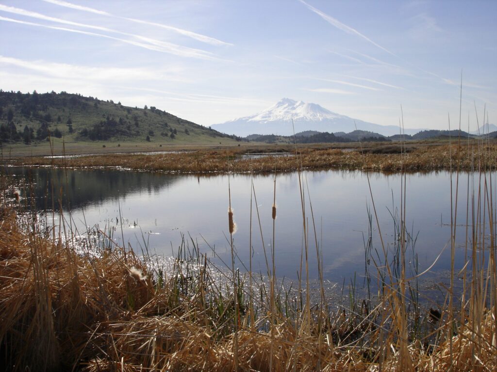
The availability of surface water and wetland resources are highly dynamic in the western US. Until recently, broad-scale efforts to conserve wetland habitats for migratory birds have been unable to account for patterns of seasonal wetland dynamics that link the timing of wetland availability (i.e. flooding) to the chronology of bird migrations through landscapes.
To overcome these conservation and information challenges the IWJV has developed spatiotemporal models that for the first time examine long-term patterns of seasonal flooding in natural and working wetland systems in the southern Oregon-northeastern California and northwest Nevada (SONEC) region – a continentally important migratory hub for wetland-dependent birds. By linking these seasonal wetland dynamic patterns to waterfowl migration chronology partners can better assess alignment and outcomes of conservation investments on natural and working wetlands for migratory birds. In addition, we use General Land Office plats to reconstruct ca. 1870 wetland footprints as a conservation guide that links historic and contemporary wetland values that are mutually beneficial to wildlife and ranching.
The journal article, webinar recording, and technical reports describing the project’s goals, analytical methods, data, and outcomes are available below:
Synchronizing conservation to seasonal wetland hydrology and waterbird migration in semi-arid landscapes (June 2, 2019)
Instructions for accessing geospatial data summaries:
Data Description: GIS polygon layer estimating monthly surface water distributions within seasonal wetlands, including irrigated hay meadows, in southern Oregon, northeast California, and northwest Nevada. Surface water estimates derived from Landsat satellite imagery. Data attributes include monthly multi-year (e.g. 1984-89) means of polygon area flooded, mean flooded polygon area from 1984 to 2016, and the annual probability of flood occurrence.
Disclaimer: The Intermountain West Joint Venture (IWJV) makes no guarantee of the data’s accuracy or results obtained from its use. Data is intended for use at broad scales and may contain errors when applied at finer resolutions and should be verified using field recognizance.
Access Constraints: Access to data are restricted to state, federal, private, and nongovernmental organizations collaborating with the IWJV to support wetland conservation. Entities may access GIS and .kmz layers by written requests to the IWJV, identifying intended use and project objectives. Narratives must include project timelines and collaborating partners. Data may only be shared among partners listed on the request. Requests must be made on a project by project basis.
Use Constraints: Data may not be published or distributed without written consent of IWJV. Data summaries, or segments thereof, may not be reproduced or distributed. Use of data should be cited as follows: J. Patrick Donnelly, David E. Naugle, Daniel P. Collins, Bruce D. Dugger, Brady W. Allred, Jason D. Tack, and Victoria J. Dreitz. Synchronizing conservation to seasonal wetland hydrology and waterfowl migration in semi-arid landscapes. In review. Contact: Access requests and questions regarding use of the data should be submitted to Patrick Donnelly, IWJV Spatial Ecologist, patrick_donnelly@fws.gov.